")
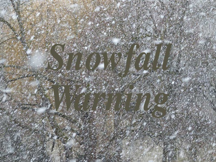
Winter storm watch in effect for:
- Espanola – Killarney
- Manitoulin Island
Winter storm beginning Monday and continuing into Tuesday.
A Colorado low is forecast to cross the lower Great Lakes for the start of the work week.
Snow is forecast to spread across portions of Northeastern Ontario beginning near midday on Monday. The snowfall will become heavier Monday afternoon and Monday night. However, snow will likely mixed with ice pellets Monday night, which may significantly reduce the snowfall accumulation. Total snowfall amounts of 10 to 15 cm are possible by Tuesday morning. A risk of freezing rain is also possible Monday overnight and early Tuesday morning for some areas.
Snow will continue Tuesday with additional accumulation possible before snow tapers off late Tuesday. Local blowing snow will also develop Monday afternoon and continue into Tuesday.
Visibility may be suddenly reduced at times in heavy snow. Travel is expected to be hazardous due to reduced visibility in some locations. Poor weather conditions may contribute to transportation delays. For information on emergency plans and kits go to http://www.getprepared.gc.ca/
Winter storm watches are issued when multiple types of severe winter weather are expected to occur together.
Please continue to monitor alerts and forecasts issued by Environment Canada. To report severe weather, send an email to ec.cpio-tempetes-ospc-storms.ec@canada.ca or tweet reports using #ONStorm.

