Birch Island, McMaster University partner on study
by Lori Thompson
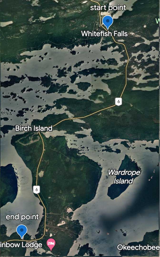
BIRCH ISLAND—From May through September, researchers will be conducting a turtle mortality road survey along Highway 6, between Swift Current (north of LaCloche Island) and Whitefish Falls. Workers from Whitefish River First Nation (WRFN) are teaming up with researchers from McMaster University’s Chow-Fraser lab, led by Reta Meng, to study turtles on the mainland this year.
“Right now we’re just beginning this project on the mainland,” explained Keith Nahwegahbow, lands assistant for WRFN. “Reta’s been doing her studies out in McGregor Bay (on Blanding’s turtles). We thought it would be a good idea to partner with her to study our mainland turtles here. We’re just taking her work and we’re applying it here. We haven’t had anything like that done before.”
“One of the main things with Birch Island is that there’s a big highway where vehicles are travelling at 80 kilometers per hour,” said Ms. Meng. “There have been community sightings where the turtles are alive but also some that have been run over and have been killed, unfortunately, and there are multiple different species including Blanding’s turtles. One of the things we’re curious to find out more about, in collaboration with the Lands Department at WRFN, is to find out if there’s hotspots in road mortality along the highway. That’s sort of why we’re doing the road survey this summer.”
The survey will take place three times a week between May and September, when the turtles are most active and it’s warm enough that they might be using the roads as a corridor or as habitat to lay eggs. “What we’re going to be doing is driving our lab vehicle approximately 40-50 km/hr, so definitely slower than traffic when it’s safe and possible without affecting school buses and whatnot. We’ve obtained the proper MTO permits and permission as well,” she added.
They want to see if that stretch of Highway 6 has any potential hotspots. From other studies that have been done, these hotspots are typically located where the road intersects a wetland (where there are wetlands on both sides of the road), with turtles crossing back and forth. “That’s usually where a lot of these mortalities will happen,” Ms. Meng said.
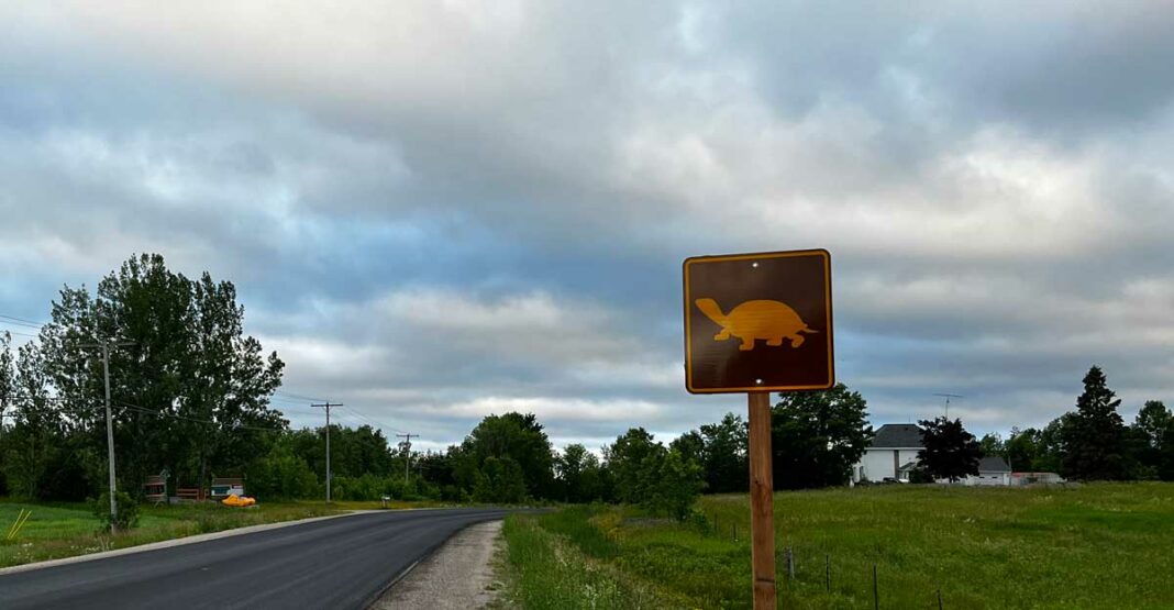
There are a couple spots along the highway that has wetland habitat on both sides and if mortality and hotspots are identified there, the researchers can conduct more detailed surveys, especially for females during June, when they would come out the most and lay eggs. “If that is the case, we could recommend a decreased speed limit or turtle crossing signs,” she said. “That would be helpful to hopefully help the decline of the population. That is the general or main goal of this.”
“It’s part of our biophysical inventory,” said Mr. Nahwegahbow. “We study all sorts of things. Turtles are one of them.”
What he really wants to stress is road safety. “Starting in May, they’ll be working along the highway from Swift Current to Whitefish Falls. We just want to warn everybody. The more people that know about it, the safer it will be for our workers. I want to stress safety right now, just to let people know we’ll be working on the highway doing road mortality surveys from 6 am until 11 am on weekdays.”
Keep an eye out for a white truck with a yellow beacon light, and workers wearing high-visibility work gear.
If anyone stops to help a turtle cross the highway along that stretch outside of the survey times and wants to add to the researcher’s knowledge base, snapping a photo of the turtle and emailing to Reta Meng at mengl13@mcmaster.ca would help. The team stresses that people should do this only if it can be done safely.


