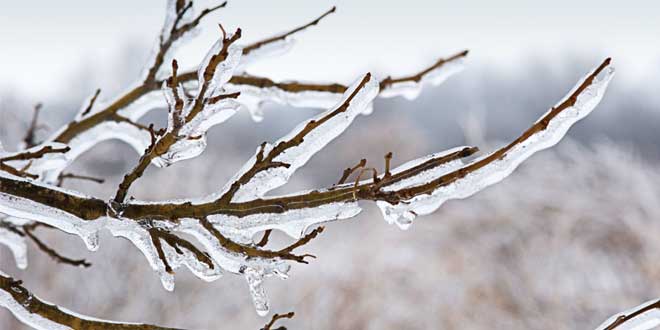
Potential for freezing rain Saturday night and damaging winds and blowing snow on Sunday.
Precipitation associated with a strong low pressure system may begin as freezing rain Saturday evening before changing to rain overnight or early Sunday evening.
Surfaces such as highways, roads, walkways and parking lots may become icy and slippery.
Damaging winds with gusts to 90 to 100 km/h are expected to develop Sunday afternoon. Areas near the Great Lakes are more likely to experience winds at the higher end of this range. The strong winds will persist through Sunday night and gradually weaken on Monday.
In addition, flurries and blowing snow will develop Sunday afternoon. Local snowfall amounts in the 5 to 10 cm range are possible by Monday morning. More importantly, any fresh snow that falls will be whipped up by the very strong winds creating whiteout conditions at times.
Visibility may be significantly and suddenly reduced to near zero making travel hazardous. Damage to buildings, such as to roof shingles and windows, may occur. Power outages are also possible.
There is still some uncertainty regarding the track of this low pressure system originating in Texas. Environment Canada meteorologists will continue to monitor this developing situation closely.


