Nanabush’s spear points came to rest at Michigiwadinong, the “bluff in the shape of a spearhead”
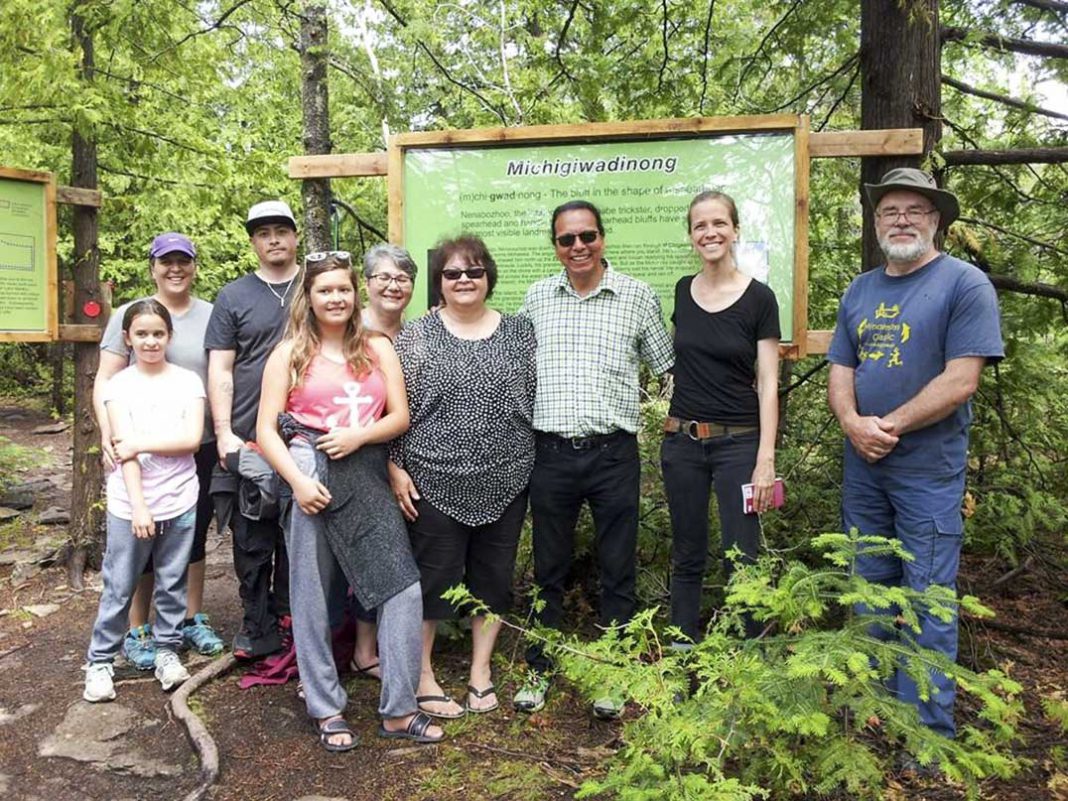
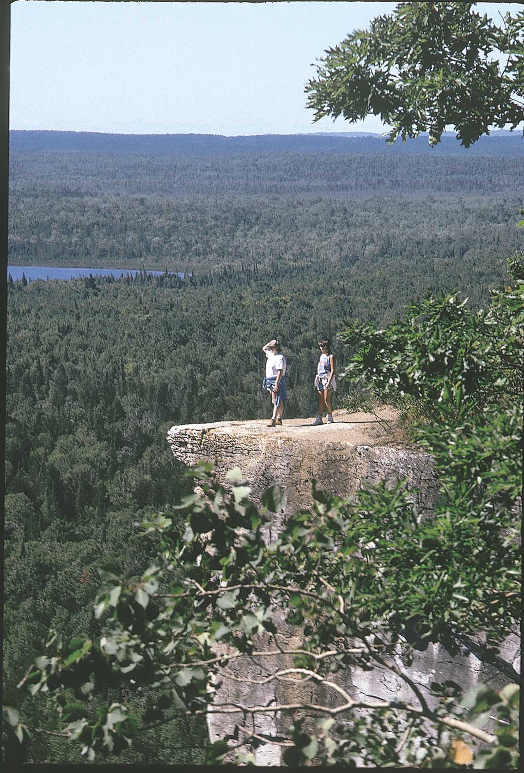
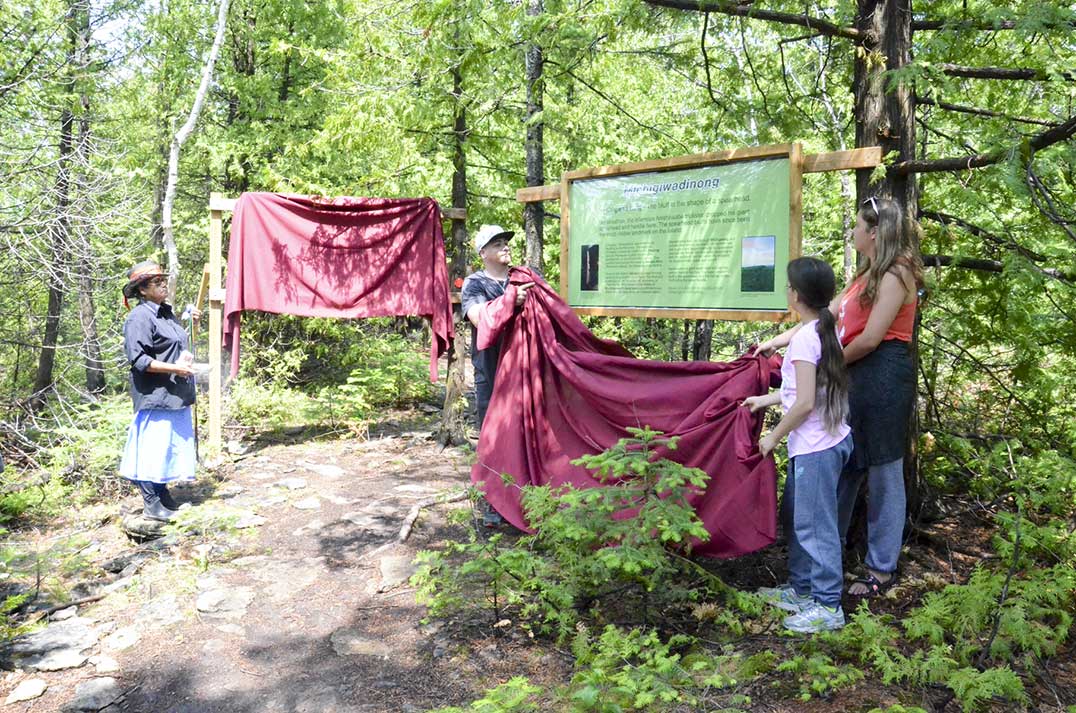
HONORA BAY—It has become famous around the globe as Manitoulin’s Cup and Saucer Trail, the highest vantage point to be found on the Island, but the Ojibwe have spoken of “Michigiwadinong” the place where Nanabush lay down his spearpoints while fleeing Iroquois warriors he had been tormenting for countless generations. This weekend, family members of Johnny Debassige, a M’Chigeeng band member and resident, his granddaughters and great-grandchildren, came to help out help unveil the new signs that relay the name and its story.
“Nwii-miigwechwi’aag Mariana Lafrance, miinwaa Dr. Roy Jeffrey, maanda gii-gchi-nokiitaanaawaa,” said Anishinaabe historian and language teacher Alan Corbiere, whose dream of putting the record straight came to fruition thanks to the determined work of several people. “These two really worked hard to make this happen,” said Mr. Corbiere, “it is good to have allies who can advocate in places and spaces where we are not.”
Mr. Corbiere explained that Michigiwadinong means “Bluff in the shape of spearhead” and he told a sizable gathering at the trailhead for the official unveiling the story of how he came to record the story of Nanabush and his spear points—but cautioning that the telling of Nanabush stories when the snow is not on the ground comes at some risk of attracting the attention of the one known as “The Trickster.”
The family members who came to take part in the official unveiling, Aspen Debassige, Dianne Debassige, RJ Panton, Kim Aelick, Keisha and Sheila Panton, remained undaunted by Anishinaabe warrior hero spirits or an early morning rain.
The ceremony began with an invocation by M’Chigeeng elder Alma Jean Migwans, who referenced the earlier rains and lightning by saying that the Thunder Beings had come to cleanse the grounds before the ceremony and thanking them for their efforts.
“This is a very special place,” said Ms. Migwans, “many great chiefs were buried here for many generations.”
Algoma-Manitoulin MPP Mike Mantha was fresh from travelling the Red Trail and was about to set out on the Blue Trail (not to mention the election trail from the recent provincial election where he retained his seat by a commanding margin) when he tongue-in-cheek queried the lack of an orange trail.
“I encourage you to stop on your way up and look at the beautiful scenery that surrounds you,” he admonished. “Don’t just wait until you get to the lookouts.” Mr. Mantha went on to deliver a short prayer in Anishinabemown.
photos by Michael Erskine
Northeast Town Mayor Al MacNevin then spoke of the challenges that had faced the town in securing a new entranceway to the trail when the old entrance became unavailable. “It is nice to see it finally in place,” he said. “We are very happy it all finally came together.” Mayor MacNevin said it was gratifying to see the original history of the site being commemorated and placed where visitors can learn about it.
Niagara Escarpment Biosphere representative Linda Willson noted that Nature Conservancy of Canada’s Bob Barnett “immediately recognized the importance of the bluffs here as some of the highest in the Niagara escarpment.”
Ms. Willson went on to reference the fundraising campaign to protect another signature site in the region, the Willisville Mountain project which is seeking to secure the icon property linked to the famed Canadian Group of Seven painters from mining. “We are almost there,” she said, while exhorting those in attendance to help pump up the kitty for that project.
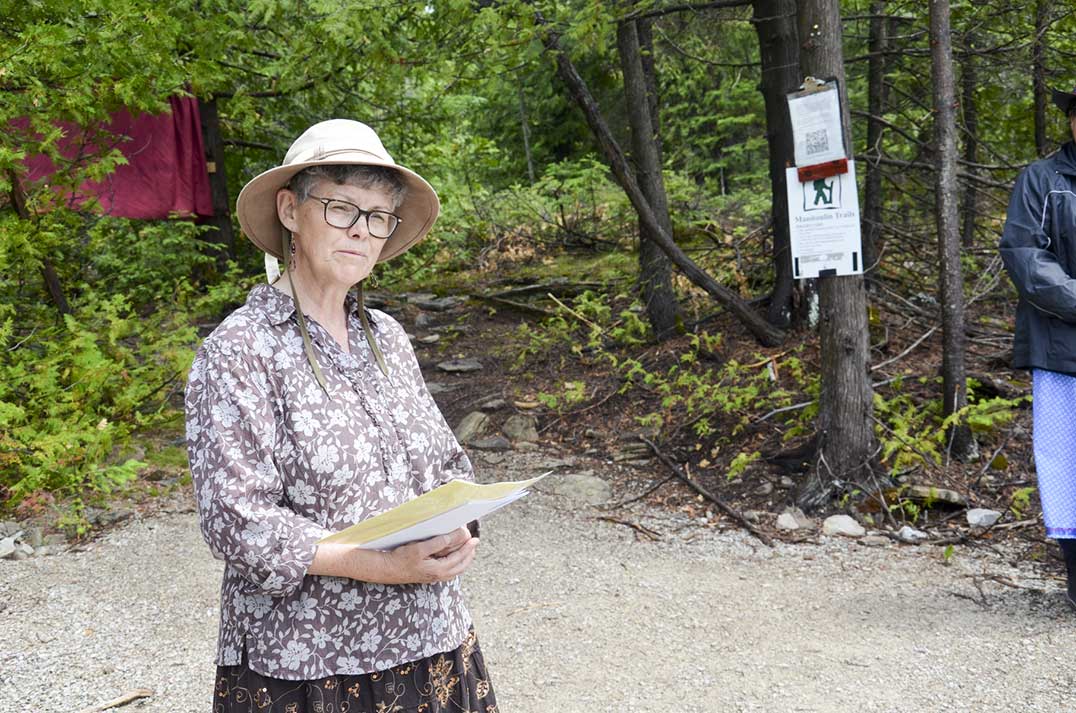
Linda Willson relays the importance of the bluffs as one of the highest points on the escaprment.
Mr. Corbiere once again thanked Marianna Lafrance and Dr. Jeffrey “for all that they did to make this happen. I had been trying since 2002 to engage the chief and council to do something about the spear head being dug out,” he said. “When the dispute over the entrance came up I am glad you took the effort.”
Ms. Lafrance became involved in the project when, as an Ojibwe student of Mr. Corbiere, they had discussed the original name and how Mr. Corbiere desired to see the original name and story of the bluffs now known as the Cup and Saucer become better known and referenced at the site. She thought that was an excellent idea and began making inquiries. The idea fell on fertile ground with Dr. Jeffrey et al and things soon began to come together.
Mr. Corbiere explained how he had been recording as many of the old stories as he was able to, but that he ran into some challenges getting people to relate them to him. Some people wanted money for the effort, some people were simply unwilling, but Johnny Debassige was different.
“He told me ‘You guys tell the story’,” said Mr. Corbiere. “He never asked for anything.”
Mr. Corbiere related how he was disturbed when he first heard the spear point referred to as a harpoon. “We never hunted seals or walruses,” he laughed. But once he learned that was the technical term for a spear with a detachable head he was not as concerned.
The barbs behind the head of the spear point denote the type of prey that the spear was destined to hunt. “Those sharp ridges that you see in the rocks below the spearhead on the ‘saucer,’ those are the spines on the spear.”
The complete story of Nanabush and the Place of the Spear can be heard in Johnny Debassige’s own voice by following a link on Mr. Corbiere’s Facebook page.
Nature Conservancy rep Dr. Jeffrey spoke on how local members have been trying to explain the importance of recognizing the historical context of locations like the Cup and Saucer to the Escarpment Biosphere people for a very long time in a tangible way. “It takes more than just saying it at the start of a meeting,” he said.
To that end, they had invited elder Norm McGregor to come and bless the beginning of the project “in a very moving ceremony.”
“One of the benefits of that, I believe, is how things went as well as they did,” said Dr. Jeffrey. “We appreciate the First Nations elders who have guided us on this journey.”
Following the official unveiling those attending socialized over glasses of apple juice and cookies.

