OTTAWA—As of the next federal election (currently slated for 2026) Manitoulin will be part of a new electoral district, Sudbury East-Manitoulin-Nickel Belt, as the former sprawling riding of Algoma-Manitoulin-Kapuskasing (AMK) (currently held by Carol Hughes and the NDP) will cease to exist. To be clear, Ms. Hughes is still the Member of Parliament (MP) representing the Island until the next election although the MP has announced she will not be running in the next federal election. Ms. Hughes has served as the Island’s federal representative in the House of Commons since 2008.
The redistribution of seats takes place following each national census (10-year) and according to the numbers, Ontario was up for one new seat but declining population numbers in relation to the southern portion of the province made maintaining the current number of seats in the North unsustainable. As AMK is roughly one-sixth the size of France, it was the prime candidate for expungement.
Given the strong impetus for one-person one-vote, the total population of 80,310 falls far short of the 121,891 average size of a federal riding. It’s geographical size of 92,666.5 sq/km falls far shy of Canada’s smallest riding (Toronto Centre) 5.84 sq/km (currently held by Deputy Prime Minister Chrystia Freeland).
AMK is somewhat unique as a riding, seeing its population mix change from 17.5 percent Indigenous in 2011 to over 20.1 percent in the 2021 census.
“We fought hard to keep the number of seats in the North,” admitted Nickel Belt MP Marc Serré, whose riding will now encompass the Island. But now that the battle has been lost, the veteran MP said he is looking forward to making more connections in the region.
“It has been an exceptional honour representing the people of Algoma-Manitoulin-Kapuskasing for the past 16 years,” said Ms. Hughes in announcing her intention to not run again. “I got into politics to try and make a positive difference in people’s lives. I’ve always attempted to take a pragmatic approach to this job and reach across party lines to get things done, but I and my NDP colleagues never wavered in our progressive ideals, and I am proud of the work I’ve done.”
That work is not yet over, however, and Ms. Hughes and her staff stand ready to continue to assist her constituents until the next election. Ms. Hughes currently serves assistant deputy speaker and deputy chair of Committees of the Whole.
But Mr. Serré is not one to take anything for granted.
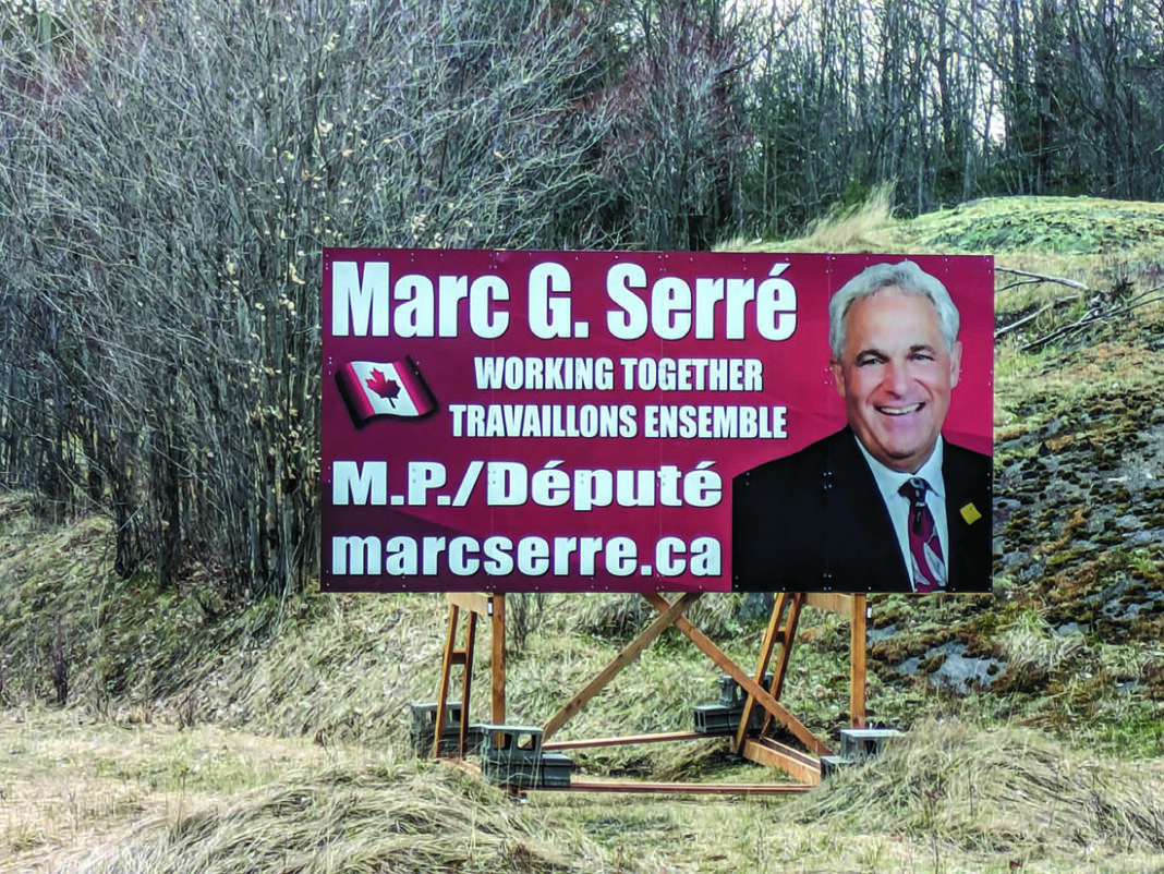
Travellers on Highway 6 between Espanola and the Island cannot help but notice two large new signs bearing Mr. Serré’s smiling face as they make their way to Manitoulin Island.
According to the federal election redistribution, the new riding boundaries will encompass “the City of Greater Sudbury, excluding that part described as follows: commencing at a point on the easterly limit of said city at approximate latitude 46°37’29”N and longitude 80°41’39”W; thence southerly along said limit to the southerly limit of said city; thence generally westerly and northerly along the southerly limit of said city to Reserve Road; thence northerly along said road and its northerly production to Highway 144 (Northwest Bypass); thence generally northerly along said highway to a point at approximate latitude 46°30’38”N and longitude 81°11’59”W; thence easterly in a straight line to a point at latitude 46°30’35”N and longitude 81°04’17”W; thence northerly in a straight line to a point at latitude 46°32’15”N and longitude 81°04’15”W; thence easterly in a straight line to the intersection of Maley Drive (Road 73) and Barry Downe Road; thence northerly along Barry Downe Road and its northerly production to the intersection of Notre Dame Avenue and Bodson Drive East; thence easterly along said drive and its easterly production to a point at latitude 46°37’21”N and longitude 80°49’10”W; thence northerly in a straight line to a point on the southerly shoreline of Wahnapitae Lake at latitude 46°43’15”N and longitude 80°49’05”W; thence generally southeasterly along said shoreline to the mouth of the Wahnapitae River (Wahnapitae Dam); thence generally southerly along the westerly shoreline of said river to the easterly limit of said city at approximate latitude 46°37’30”N and longitude 80°39’36”W; thence westerly along said limit to the point of commencement; the towns of Espanola, French River, Killarney, Markstay-Warren, St. Charles and West Nipissing; Baldwin, Nairn and Hyman, Sables-Spanish Rivers, the Unorganized Area of Sudbury (north part), Mattagami No. 71, Point Grondine No. 3, Wahnapitae No. 11, Whitefish Lake No. 6, Whitefish River No. 4 and all of Manitoulin Island.


