Special weather statement in effect for:
- Blind River – Thessalon
- Espanola – Killarney
- Manitoulin Island
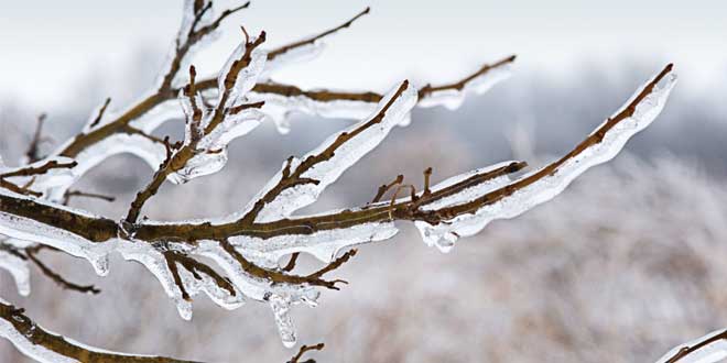
Major winter storm expected to bring a variety of winter weather conditions beginning today.
An initial band of snow associated with this storm is forecast to begin over areas adjacent to Lake Huron and Lake Superior near noon today and then spread northeastward. Most areas will see a quick transition to ice pellets this afternoon or tonight. In some areas an extended period of ice pellets is likely resulting in significant ice pellet accumulations. Heavy snow will then redevelop late tonight or Monday morning before slowing tapering off Monday night. Total snow and ice pellet accumulations of 10 to 20 cm will be possible through this period.
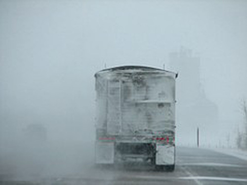
The combination of ice pellets, heavy snow and strong gusting winds will result in difficult travel conditions through at least Monday evening.
Please continue to monitor alerts and forecasts issued by Environment Canada. To report severe weather, send an email to ONstorm@canada.ca or tweet reports using #ONStorm.


