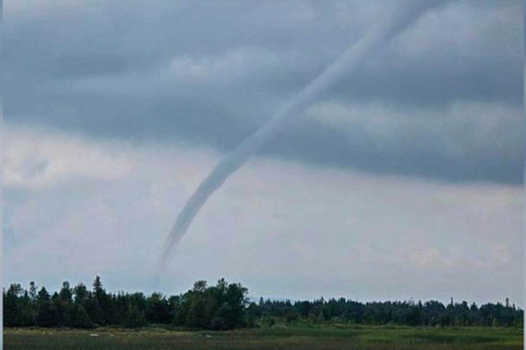
NORTH CHANNEL—A Facebook user on Manitoulin Island posted an image of a funnel cloud on Tuesday, July 30, saying they spotted the phenomenon just before 4 pm.
Maggie McMurray posted the image to the Ontario Storm Reports Facebook group, saying she was west of Little Current when she spotted the cloud and the cloud was east of her, possibly in the area of Birch Island or Whitefish Falls.
According to the National Oceanic and Atmospheric Administration (NOAA), waterspouts “fall into two categories: fair weather waterspouts and tornadic waterspouts.”
“Tornadic waterspouts are tornadoes that form over water, or move from land to water,” the NOAA states. “They have the same characteristics as a land tornado. They are associated with severe thunderstorms and are often accompanied by high winds and seas, large hail, and frequent dangerous lightning,” an explanation posted to the NOAA’s website states.
Fair weather waterspouts usually form along the dark flat base of a line of developing cumulus clouds. They tend to originate in warm air, over warm water, with light winds and high relative humidity. This type of waterspout is generally not associated with thunderstorms. While tornadic waterspouts develop downward in a thunderstorm, a fair weather waterspout develops on the surface of the water and works its way upward.


