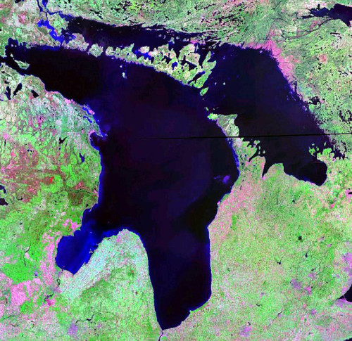
MANITOULIN—There is no ignoring it. The waters surrounding Manitoulin are receding at an astounding rate.
According to the US Army Corps of Engineers website, an alert for Lakes Michigan-Huron has been issued, warning mariners that the Great Lake is now below chart datum. “Users of the Great Lakes, connecting channels and St. Lawrence River should keep informed of current conditions before undertaking any activities that could be affected by changing water levels,” the site warns. “Mariners should utilize navigation charts and refer to current water level readings.”
There is now only 2.54 centimetres (one inch) separating today’s levels with the record low for Lake Huron in 1964 and according the US Army Corps of Engineers, that number will be surpassed in one month’s time by another five centimetres. October alone saw a fall of seven centimetres. Compared to one year ago at the beginning of November, Lake Huron is 38 centimetres lower, fully 70 centimteres below the monthly average from 1918-2011. On November 8, 2012, Lakes Huron and Michigan had a daily mean of 175.69 metres—the low for this time in 1964 was 175.65 metres.
By the time December hits, Lake Huron will be equal to the 1964 all-time recorded low for that month, with January through March surpassing that low of 42 centimetres below chart datum (176 metres). By mid-March and April, Islanders should see some relief, with lake levels expected to rise above the recorded lows of 1964.
To record this historic period, The Expositor had put out a call on its Facebook page, asking our readers to send in their low water level pictures which will be added to our online album as well as used in the pages of this newspaper as we continue to track this story. To help us document this time, please email your photo to editor@manitoulin.ca with the time and location the photo was taken and any other comment that will help illustrate the photo.


