by Isobel Harry
SHEGUIANDAH – Nowhere is the prehistory of Manitoulin Island so beautifully laid out and so tangible as in Sheguiandah and vicinity, in the Town of Northeastern Manitoulin and the Islands (NEMI). Here we may train our eyes to spot dazzling white quartzite outcrops, the only bit of land that stood above the glacial melt of the last Ice Age, before the Island was inhabited, about 10,000 years ago. Dramatic hills and valleys contour Bass, Pike and Perch Lakes, roads sweep gently downward to Sheguiandah Bay in the Georgian Bay of Lake Huron. This is prime Niagara Escarpment country and the possibilities for exploration are endless.
According to geological time scales, the land we stand on here on the Island was formed about 450 million years ago. Manitoulin was submerged underwater in a “shallow tropical sea” crawling with marine life, shellfish of all descriptions that eventually formed the limestone so prevalent here, and the wide distribution of marine fossils encased in it.
Many millions of years before, the rounded quartzite hills of the Cambrian Shield (aka the Canadian Shield) were laid down and remain exposed today, readily apparent on a drive through the LaCloche hills to Espanola, or in Killarney; newer sediments were layered onto the quartzite bedrock of the Island but at a very few spots at higher elevations, the quartzite poked through and continues to be visible today.
All of this geological activity is brought into high relief at the Centennial Museum of Sheguiandah, whose interactive exhibits about the area’s archeological significance outline the evidence of quarrying by the first humans to inhabit this land. Carbon-dated to approximately 10,000 years of age, the spear points and axe heads found by archeologists on a quartzite hill nearby—now a National Historic Site—are thrilling to experience.
Recently, Heidi Ferguson, NEMI’s economic development officer, announced the beginning of guided tours to the site: “Over the last few years, NEMI has been working with Dr. Patrick Julig and the archaeology division of the Ministry of Heritage, Sport, Tourism and Culture Industries to develop and build a trail on this national historic site, dating back almost 11,000 years.
“Work on the trail is currently being finished up and we anticipate (pending the COVID-19 situation), to be able to provide guided tours to the public in Spring 2021.” Tours will be pre-booked on an as-yet-to-be-determined schedule to be released later; more information can be found on the new website ShegSite.com.
A roam around this geologically-important area can begin by taking Lime Kiln Road off the Bidwell Road, where the expansive Skippen century farm proclaims its presence here “since 1870.” The gentle, winding climb into the Escarpment ridge gives a stunning view of Lake Manitou, if you look back at this point, all the way to the Cup and Saucer.

Lime was much in demand in the 1870s as an ingredient in cement for houses and barn foundations and many kilns were constructed to extract it from limestone. The original lime kiln on this road is about 2 km north of here, now on private property; kiln firings were social events, with dancing, food and music around a large rock oven covered in packed mud and they went on for about a week. New on this road is Lime Kiln Quarry, an outfit that sources local stone in the same area where stone quarrying began millennia ago. Lime Kiln becomes Townline Road where it perches right on top of the Escarpment – with gorgeous views of Lake Huron and Bass Lake. At this spot is Richard Lathwell’s Lobo Loco Alpacas, previously the scene of fuzzy one-on-ones with llamas, now closed during the pandemic (LoboLocoAlpacas.com).
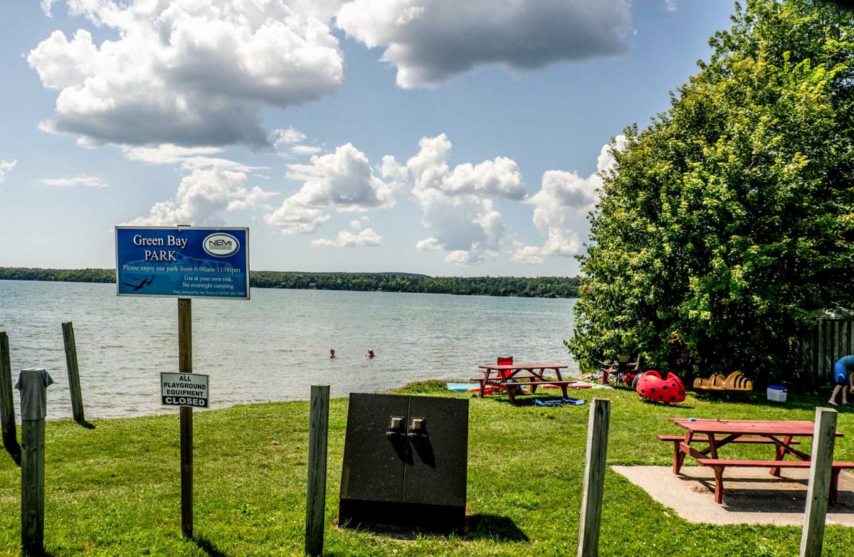
With a right turn here, it’s possible to see some quartzite outcrops on Green Bay Road. With eyes peeled to the left, the ancient white rocks can be seen at the far right edge of the farmer’s field, just a couple of hundred yards from Townline Road. Returning to the Townline, we descend through farms then the newer bungalows bordering Bass Lake as the road nears the hamlet of Sheguiandah.
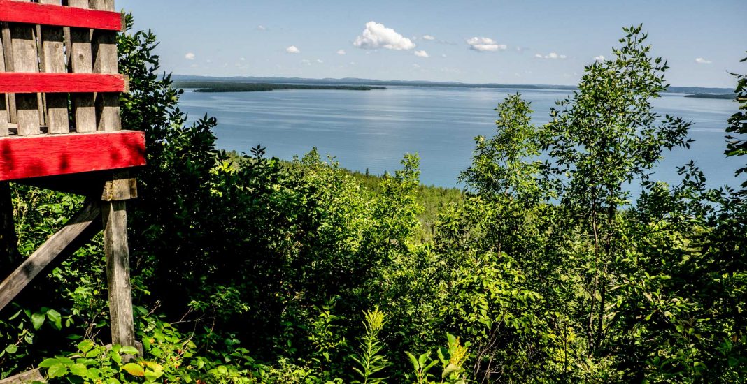
To get a wider perspective on the view over Sheguiandah Bay, we nip down Highway 6 to Ten Mile Point. The vista from the lookout platform at the Ten Mile Point Trading Post is an awe-inspiring thousand square miles of islands dotted throughout the glistening waters below the escarpment; this scene has looked exactly like this for the last 10,000 years, since the retreat of the kilometres-thick glaciers.
A marker notes the presence here of a Jesuit mission in 1648, established during the period of a French-Algonquin-Huron alliance under Samuel de Champlain. One can almost see the big canoes of the Odawa paddling through to the trading routes of Georgian Bay and the North Channel, loaded with maple sugar and berries, hides, game and fish.
This is a good place for a picnic and a rummage around the Trading Post for authentic, locally made Indigenous art and handcrafts, books, clothing, blankets and much more.
Heading back north up the highway, past the now-quiet powwow grounds of Sheguiandah First Nation that resonate every July with the drumbeats and songs danced to since time immemorial, and Green Acres Restaurant, a welcome pit stop for ice cream and take out menu (705-368-2428), we drive up Indian Mountain Road to Pike Lake Farms (call 705-368-0217 to hear what produce is available), another gorgeous escarpment site. Almost at the entrance to the farm, across a field and part way up the escarpment is a large quartzite outcrop that has stood in that spot for more than 500 million years. This tends to put things in perspective.

Back on Highway 6, we take the first right into Sheguiandah village, next to Batman’s Cottages; the scaled-down replica of Thomas Batman’s saw and shingle mill that operated from 1879 until 1940 offers another picnic possibility. Ahead is the Bass Lake Stream Fish Ladder, a project of Manitoulin Streams, alive with spawning walleye in the spring—two benches invite a sit-down in this shady spot.
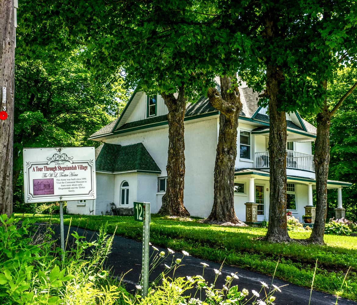
The Centennial Museum gives out a guide to a historical walking tour of Sheguiandah village “to visualize Sheguiandah in its ‘heyday’—when it boasted a Literary Society and a Brass Band!” Every historical site is highlighted by a number and historical marker—28 in total—and can be found on the map: the Independent Order of Foresters’ hall (1895), now the busy Seniors’ Club, the imposing W.L. Trotter home (1890), the former Anglican Rectory (1890) with its gracious curving laneway, the former cheese factory, millinery, mills, churches and the oldest home, built by Robert Lewis in 1870. Many artifacts from the ‘heyday’ of the village have been donated to the Museum by the descendants of the original settlers, and several log buildings and early farm machinery dot the lush grounds along with lawn chairs from which to contemplate bygone days.
Sheguiandah has been a haven for cottagers for many years—tiny, old-style rentals that overlook the water still overflow with families intent on the simple, timeless pleasures of fishing, swimming and sitting by the campfire together. In fact, if you’re in need of some last-minute items for the camp, or even a great gift, stop into Ferguson’s Cottage Supply Co. located at 10741 Highway 6 in Sheguiandah or call 705-368-3346. The Waterfront Park’s playground in Sheguiandah and the boat launch is doing brisk business. Life goes on as it always has, most recently with masks.
The Centennial Museum of Sheguiandah is open Thursday to Sunday from 10 am to 4 pm.


