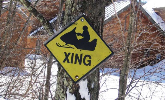
BILLINGS—While snowmobilers are pining for snow, members of the Manitoulin Snowdusters Snowmobile Club are busy ensuring the trails are in good shape for when that day comes, including permission from landowners. They have, however, hit a major snag—one that will affect a major portion of the trail system this winter.
Snowdusters public relations person Brad Middleton alerted The Expositor to a Billings trail that is currently caught in a dispute between the municipality and two seasonal residents.
“The trail that is adversely affected by the closure is the one that runs up the north side of Manitoulin,” Mr. Middelton explained. “More specifically, it is that part of the trail that runs from M’Chigeeng up the west side of the big body of water that is called West Bay, eventually ending at Kagawong.”
He explained that the trail leaves M’Chigeeng at Manitoulin Secondary School and “more or less” follows the top of the escarpment (aka the bluff’), most of the way up that side of West Bay before turning west and coming out at Kagawong by the dock.
A history lesson: the old Highway 540 from Little Current to Gore Bay did not always go the route of the big straight road now called “The Billings Stretch” between M’Chigeeng and Kagawong. “Pretend you are coming from Kagawong and going toward Little Current,” Mr. Middleton proposed. “There is the long stretch that runs east/west out of Kagawong down past the Hideaway Lodge turnoff. At the end of that stretch, you now make a 90 degree turn south, and start heading down The Billings Stretch. That’s how Highway 540 goes now.”
Until the middle of World War II (some people say the year was 1942), travellers didn’t turn south down The Billings Stretch when coming from Hideaway, they kept going east on what is now a township road, Mr. Middleton continued. “That township road eventually takes you out to the west side of West Bay, then the township road turns south and follows the top of the bluff, which in turn runs down the same direction as the lakeshore toward M’Chigeeng. That township road is now only regularly maintained by the township partway toward M’Chigeeng, and that has been the case for many years.”
Following the rerouting of Highway 540, the Township of Billings took over the road from the MTO, but started only irregularly maintaining the south half of this road down toward M’Chigeeng (no winter maintenance) for the benefit of cottagers in the area, and to service a large gravel pit that is near the south end.
“In the winter months, the township has graciously given us permission to run our groomed trail over that road,” Mr. Middleton said. The part of the road at the south end is called the Fraser Road and comes out at MSS.
Putting on his lawyer hat, Mr. Middleton then explained that because old Highway 540 followed the bluff down the west side of West Bay, it was not situated on a legal road allowance. Rather, it is what is known in law as a ‘given road.’ More specifically, it is located on, and runs over, land that would normally belong to the private landowners, and would form part of their overall parcel of land.
Two landowners, seasonal residents of Billings Township on Fraser Road, have placed permanent gates that have caused the township to take the matter to court.
Billings Mayor Austin Hunt told this newspaper that the landowners in question have placed barricades over the years, but at the advice of its lawyer, the municipality has removed them each time—this time, however, the barriers come in the form of gates.
“They think it’s a private road, but we don’t think it is,” the mayor said, adding that everything between the 14th and 12th Concessions are property of the township, which Fraser Road falls under.
“There are quite a number of people who own property down there (and have to access it through this road),” Mayor Hunt added.
“The snowmobilers are concerned too and have offered their support,” he continued. “There is no other road, according to them (Snowdusters), to improvise in a hurry.”
“This is not an easy obstacle to overcome,” Mr. Middleton said of the lack of trail. “We cannot just ‘go around’ the two parcels of land, by going out onto the lake temporarily, because how do we get up and down the bluff in two different places?”
The Snowdusters worry they may have to use the lake all the way from just north of MSS around to Kagawong. “This is not good,” Mr. Middleton said. “West Bay is part of the North Channel, and both are large bodies of water. If we have a mild winter, they may take a long time to freeze, and the trail would be delayed until the season is half over. It is a real conundrum.”
Mr. Middleton said he worried that as the years go on and properties on Manitoulin get bought up by people from off-Island, those people will be less inclined to offer permission to let others cross their property and so these kinds of issues will continue to rise.


